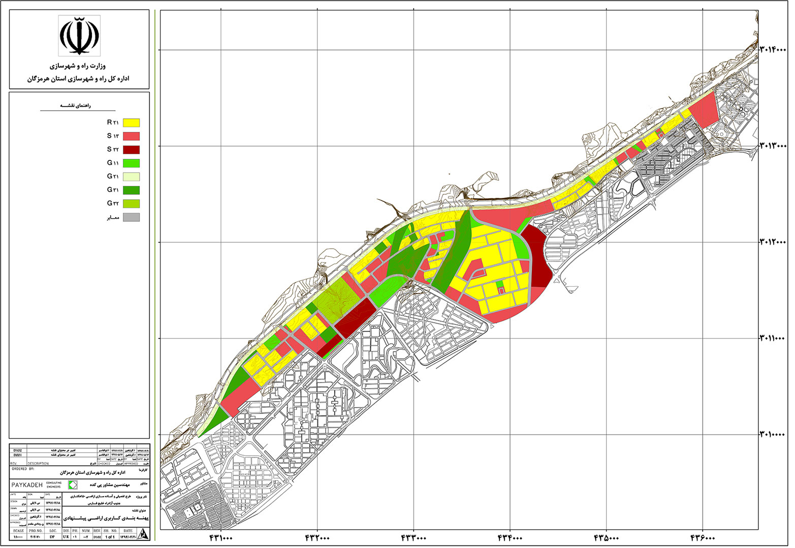
150 hectare Detail Master Plan of Bandarabbas
Description
The situation of project is located at southern edge of “khaleij-e-fars”. The project area is about 150 hectares. A part of project is inside the city limits and other part is inside city territory. The high ways importance is as a northern ring road and a connective linkage between east and west. Also peripheral lands of highway make opportunity for development and supply residential use and urban services. Moreover, informal settlement is a socio-spatial problem in the project and all these points show the prominent of preparing detailed plan for selected district.
Engineer consultant followed some major goals for detailed plan: urban Land recycling, replacing new Residential units to informal settlement ones, exchanging master plan zoning and reviewing the city territory. Finally the team predicted the land uses and public spaces as production.
Facts
150 hectares
2012-2015
Hormozgan Road and Urban Development Office